SERVING THE BUILDERS
FROM OIL FIELD TO FARMLAND.


Pintail Drone Services provides high-accuracy mapping, 3D modeling, and site inspections. We work with contractors, engineers, and landowners to deliver the data they need.
FLY PINTAIL

ABOUT PINTAIL

NEVER SACRIFICING QUALITY.
ALWAYS UPHOLDING INTEGRITY.
Pintail Drone Services is a Shreveport, LA-based team of experienced technicians with deep roots in construction, engineering, and marine industries. We specialize in high-precision LiDAR mapping, aerial data capture, and building machine-ready 3D terrain models that streamline site planning and execution.
We combine cutting-edge drone technology with a grounded, hands-on approach to deliver fast, accurate, and actionable data that helps our clients work smarter from the ground up.

PINTAIL’S IMAGING CAPABILITIES
NEXT-GEN MAPPING,
MODELING & MONITORING.
 AERIAL MAPPING
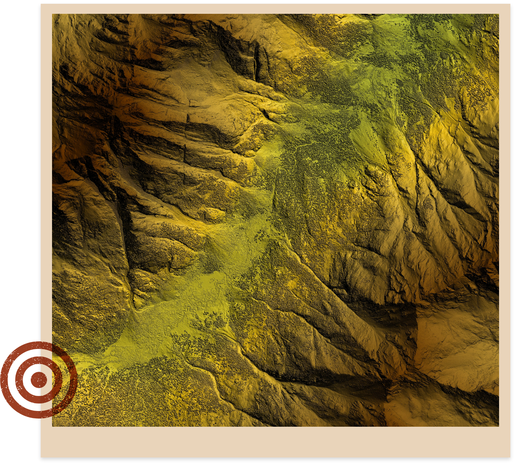
We use advanced drone-mounted LiDAR and high-resolution cameras to capture accurate topographic data and imagery. This allows us to generate detailed digital terrain models and orthomosaic maps, even in heavily vegetated or remote areas—faster and more safely than traditional methods.
 GPS-COMPATIBLE SITE MODELING
 JOB PROGRESS MONITORING
 THERMAL INSPECTIONS
 UNDERWATER MAPPING
WHAT IS
LIDAR?

Unlike traditional land mapping, LiDAR drones can cover more ground in less time, reduce the need for crews in hazardous terrain, and deliver high-resolution 3D models that are ready to use in planning, design, and construction.


MAP SMARTER.
MOVE FASTER.
FLY PINTAIL.
WHY CHOOSE PINTAIL?
We combine the precision of modern aerial mapping with the problem-solving expertise of seasoned field professionals to deliver accurate, actionable data geared to your unique project needs.

INDUSTRY-ROOTED EXPERTISE
Our team has firsthand experience in construction, oil & gas, and marine operations. We understand the challenges on site and tailor our drone services to meet real-world needs, not just technical specs.
MACHINE CONTROL-READY
MODELS
We don’t just hand over raw data. We build clean, reliable 3D terrain models that integrate directly with GPS-enabled equipment, so your crews can get to work without delay.
FASTER, SMARTER DATA
We deliver detailed aerial maps and models in a fraction of the time traditional methods take, all without sacrificing precision. The result: better decisions, faster.
SCALABLE & AGILE
We’re a lean, responsive team built to move fast—whether you need a quick inspection or ongoing support on complex, multi-phase projects. As we grow, we scale to meet your needs without losing our edge.

MAP SMARTER
WITH PINTAIL.
GET A QUOTE


